
Follow our social profiles:


Contrast:


Page settings
Contrast:
Language:

Rafting on the San river
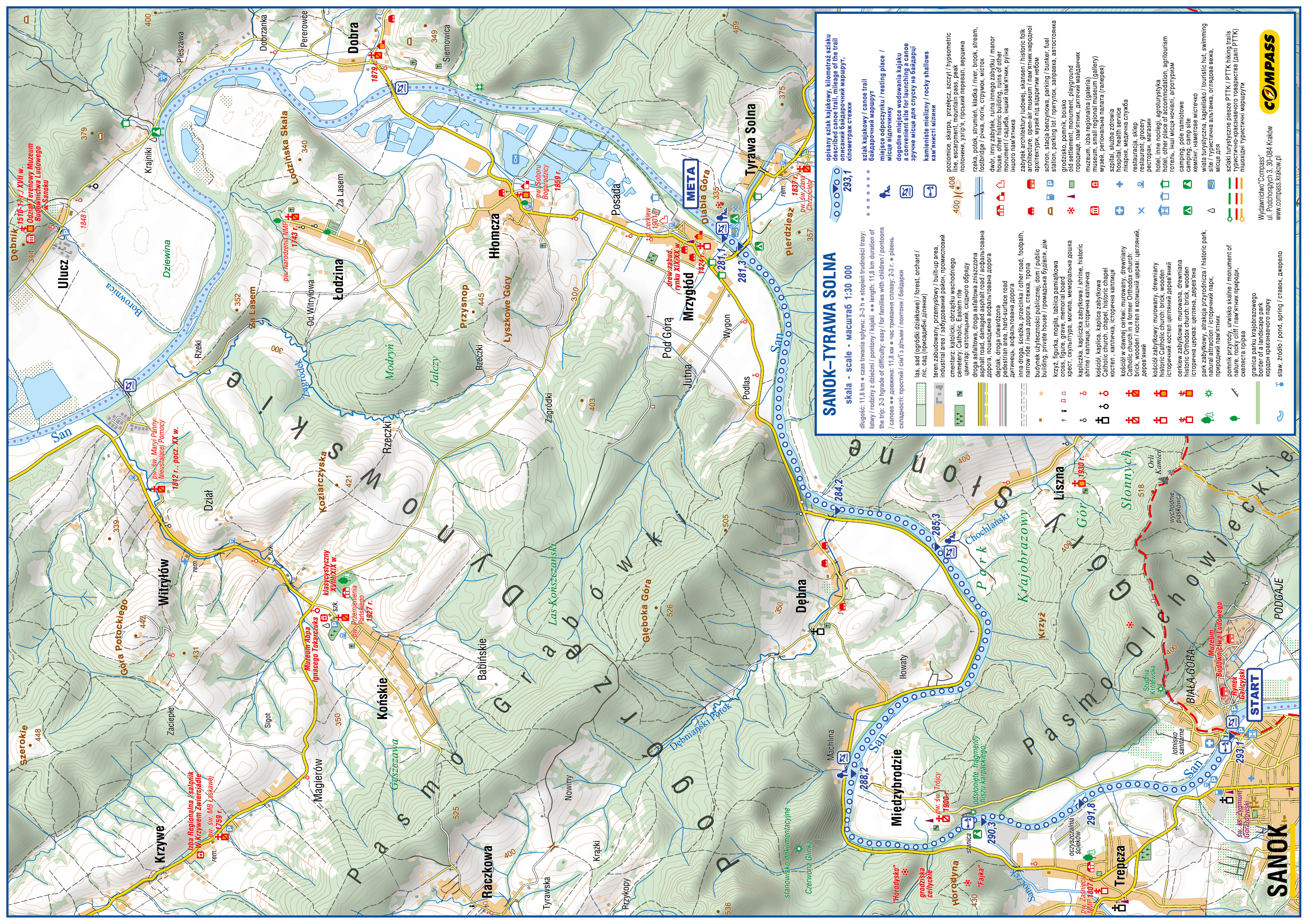
Route: Sanok – Tyrawa Solna
Length: 11.8 km
Duration of the trip: 2–3 h
Grade of difficulty: easy / for families with children / pontoons / canoes
Start:
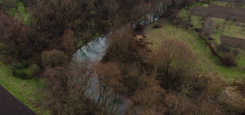
293.1 km – car park in Białogórska street before the bridge, access to water from wooden steps, after the bridge there is a rocky shallow and single emerging boulders; on the right riverside there is a helipad for air ambulances; recreational areas and arable fields stretch along the right bank; the river flows at the foot of the Słonne Mountains Landscape Park;
291.8 km – the village of Trepcza on the left riverside; we enter the gorge of the San River through the Słonne Mountains; we pass an island located at the level of the wastewater treatment plant;
290.3 km – the mouth of the Sanoczek stream; a riverside hostel on the left bank, the beginning of a large bend on the San River; when the water level is low, rafting is difficult because of rocky shallows; on the right side we pass outcrops of the Carpathian flysch;
288.2 km – Międzybrodzie, an old Orthodox church built in 1900 in the village (now a Roman Catholic church) – a convenient way out of the river and a potential place to take a rest on the left bank; going further, we pass summer houses on the left bank;
285.3 km – Liszna - the mouth of the Chochlański stream; there is a road to the bank of the San River. Travellers can go ashore and take a short rest;
284.2 km – the village of Dębna on the left bank; the mouth of the Dębniański Potok, Mrzygłód-Podlas;
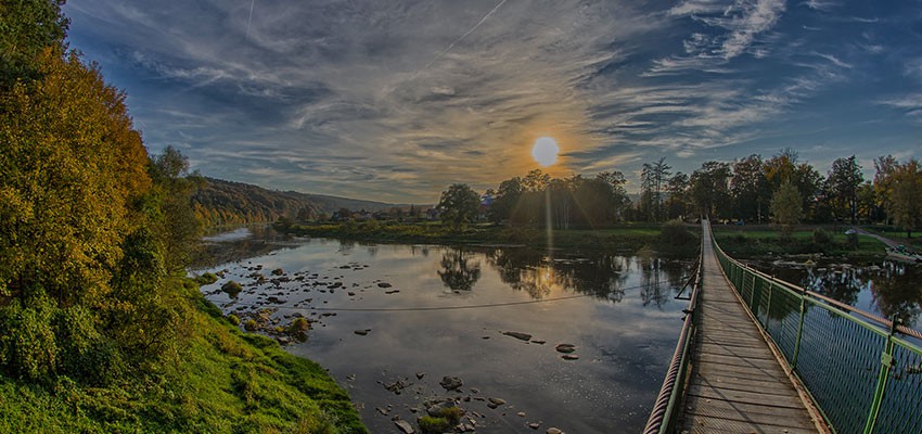
281.3 km – Tyrawa Solna - bridge, before the bridge there is a holiday resort, restaurant, camping houses; after the bridge - the mouth of the Tyrawka stream; in the village there is the wooden church of St. John the Baptist from 1837, with historic interior decor;
281.1 km – the end of the canoeing trail; bungalows, a roofed site for a bonfire; nearby the old village of Mrzygłód - a historic place with a preserved layout of wooden architecture; the trip on the San River can be continued, but it has to be arranged beforehand and needs more time.
The canoeing trip can be finished in Dobra or in Witryłów, near the footbridge on the road leading to the church in Ulucz (marked Icon Trail).
WARNING! Those who continue the trip to the ferry crossing in Krzemienna will have to go over a rocky weir called Ptasi Uskok, which can be dangerous for inexperienced canoeists.
 Download the trail cover
 Download the trail map


This online multimedia guide was created with the financial support of the European Union under the Poland-Belarus-Ukraine Cross-Border Cooperation Programme 2014-2020. The information contained herein is the sole responsibility of the Podkarpackie Regional Tourism Board. The content of this publication does not necessarily reflect the official position of the European Union MA or the Joint Technical Secretariat of the Poland-Belarus-Ukraine Cross-Border Cooperation Programme 2014-2020.